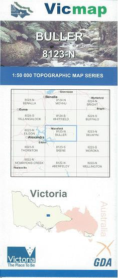

Description
Buller 1-50,000 scale Vicmap Topographical map 8123N is used for Walking, 4WD, Fishing, Camping, Motorcycle, both On and Off Road, Gold Prospecting and for those simply going for a family weekend drive.
Topographical maps show not only Contours of the Terrain but Walking Tracks, Sealed and Unsealed Roads, Rivers, Creeks, Lakes, Historical Point of Interest, Old Mine Sites and National and State Park areas.
Main Features of this map includes:
Mt Buller Alpine Village
Mt Buller
Mansfield
Merrijig
Howqua and Howqua Hills
Sheepyard Flat
Delatite
Mt Battery
Goughs Bay
The Bluff
Eastern Section of Eildon and Eildon National Park