
Description
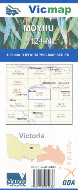
Moyhu 1-50,000 scale Victorian Topographical map 8124N is used for Walking, 4WD, Fishing, Camping, Motorcycle, both On and Off Road, Gold Prospecting and for those simply going for a family weekend drive.
Topographical maps show not only Contours of the Terrain but Walking Tracks, Sealed and Unsealed Roads, Rivers, Creeks, Lakes, Historical Point of Interest, Old Mine Sites and both National and State Park areas.
Main Features of this map includes:
From the edge of Benalla to the King River
Molyullah, Winton, Mount Pleasant, Tatong, Greta West, Upper Lurg, Hansonville, Moyhu, Ryans Creek, Mount Bellvue, Sugarloaf Hill, Myrrhee, Bobinawarrah, Meadow Creek, Claremont, Carboor Upper, King Valley, Edi Upper
Numerous State Parks