
Description
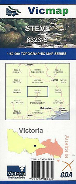
Steve 1-50,000 scale Vicmap Topographical map 8323S is used for Walking, 4WD, Fishing, Camping, Motorcycle, both On and Off Road, Gold Prospecting and for those simply going for a family weekend drive.
Topographical maps show not only Contours of the Terrain but Walking Tracks, Sealed and Unsealed Roads, Rivers, Creeks, Lakes, Historical Points of Interest, Old Mine Sites and National and State Park areas.
Main Features of this map includes:
Dargo Township, Dargo River, Crooked River
Mount Grant, Talbotville, Tea Tre Range State Forest, Howittville, Grant Historic Area, Mount Cynthia Range, parts of the Alpine National Park, Pinnacle Creek East Branch Natural Catchment Area, Mount Valentia, Stonehenge, Little Kent, Dingo Knob, Hibernia State Forest, Boulung Deera State Forest, Mount Grant, Thirteen Mile Spur, Wentworth State Forest, Mount Hurley, Mount Thompson, Birregun State Forest, Livingstone Creek, King Street Bridge