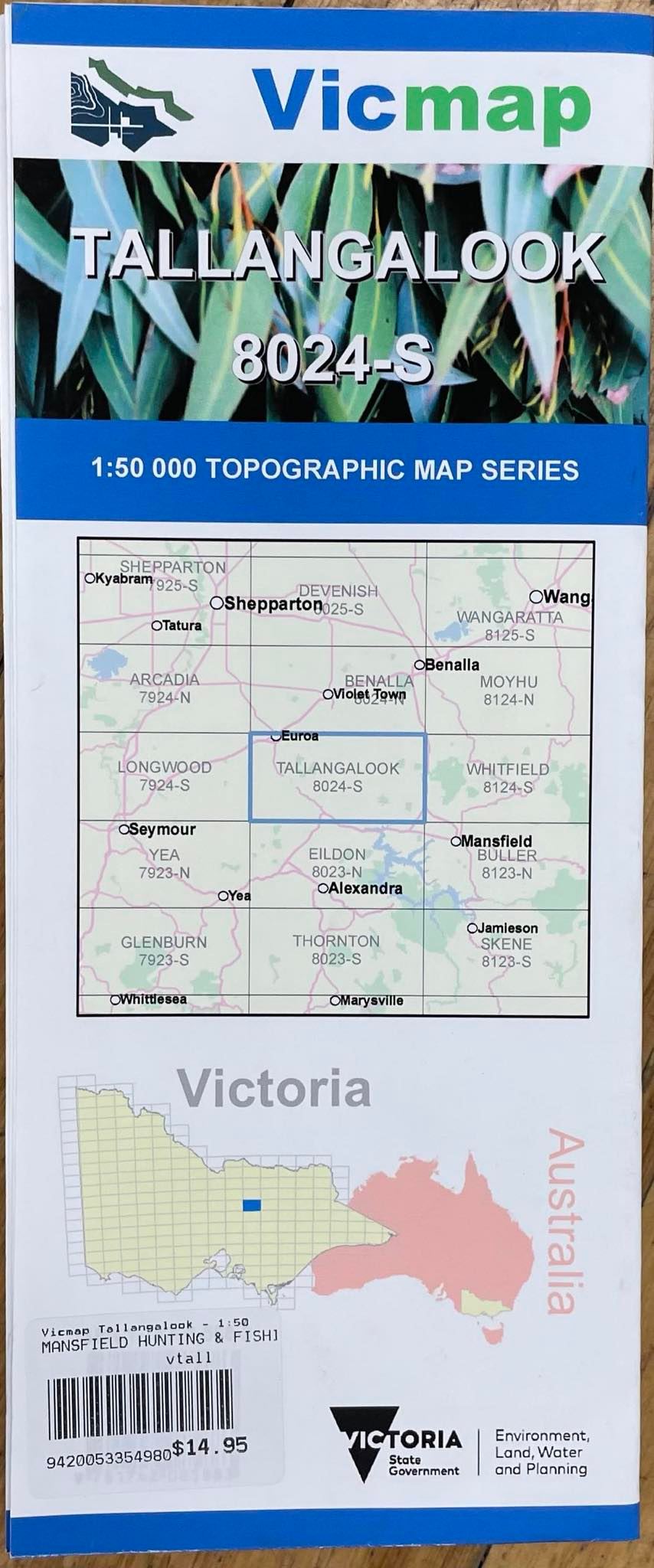


Description
Tallangalook 1-50,000 scale Vicmap Topographical map 8024S is used for Walking, 4WD, Fishing, Camping, Motorcycle, both On and Off Road, Gold Prospecting and for those simply going for a family weekend drive.
Topographical maps show not only Contours of the Terrain but Walking Tracks, Sealed and Unsealed Roads, Rivers, Creeks, Lakes, Historical Points of Interest, Old Mine Sites and National and State Park areas.
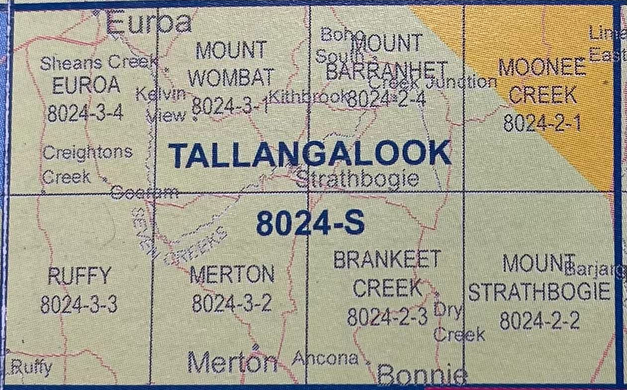
Main Features of this map includes:
Euroa, Merton, Strathbogie towns
Bottom of the Strathbogie Ranges, to cover all you also need Benalla, the map to the North, see below
The Eastern Edge of Lake Nillacootie
Mount Wombat