Description
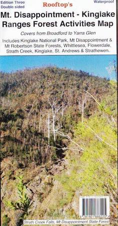
Coverage includes Reedy Creek, Wandong, Upper Plenty, Mount Disappointment, Hazeldene, Flowerdale, Strath Creek Falls, No.1 Camp, Blair's Hut etc.
Facility symbols include Camping Areas, Picnic Areas, Lookouts and Fishing Spots.
The 1:50,000 scale map also includes, roads, vehicle, motorcycle and walking tracks, contours, elevations, and GPS coordinates with an inset of the Strath Creek falls area.

