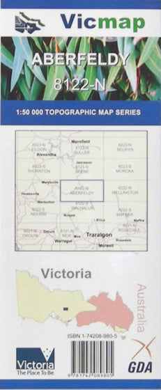
Description
Aberfeldy 1-50,000 scale Victorian Topographical map 8122N s used for Walking, 4WD, Fishing, Camping, Motorcycle, both On and Off Road, Gold Prospecting and for those simply going for a family weekend drive.
Topographical maps show not only Contours of the Terrain but Walking Tracks, Sealed and Unsealed Roads, Rivers, Creeks, Lakes, Historical Point of Interest, Old Mine Sites and both National and State Park areas.
Main Features of this map includes:
Northern part of the Thompson Dam
Aberfeldy, Matlock, Woods Point, Woods Point Gold Mine area, Mt Gregory, Yarra Ranges National Park, Frenchman’s Gap, Deep Saddle and Queen Bee Saddle, Mt Selma, Big River State Forest, Mount Shinlinglaw, Mount Singleton, Mount Useful, Toombon Gold Mines, Woods Point Gold Mines, Mount Sander, Mount Easton, Mount Gregory, Pleasant Mount, Red Jackel, The Triangle

