
Description
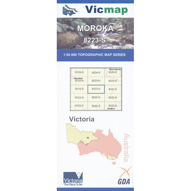
Moroka 1-50,000 scale Victorian Topographical map 8223S is used for Walking, 4WD, Fishing, Camping, Motorcycle, both On and Off Road, Gold Prospecting and for those simply going for a family weekend drive.
Topographical maps show not only Contours of the Terrain but Walking Tracks, Sealed and Unsealed Roads, Rivers, Creeks, Lakes, Historical Point of Interest, Old Mine Sites and both National and State Park areas.
Main Features of this map includes:
Mount Liger (The Crinoline), Mount Clear, Toms Cap, Wonnangatta River, Mount Tamboritha, Mount Arbuckle and Mount Reynard, Basalt Knob, Far Yard Saddle, Barkly River State Forest, Mount Lookout, Mount Von Guerard, Mount Larrit, Mount McAdam, The Sugarloaf Hill, Mount Cynthia Range, The White Ladies, Moroka Gorge and Falls, Mount Dawson, Mount Kent, Mount Short, Cromwell Knob, Barstards Neck, Minogues Lookout, Yellow Bull Gap, Mount Darling Snowy Bluff Wilderness Zone, Bryces Gorge, Conglomerate Creek Falls, Dimmick Lookout, Mount Lookout, Mount Reynard, Mount Arbuckle, Carey State Forest, McFarlane Saddle, part of McMillans Track