
Description
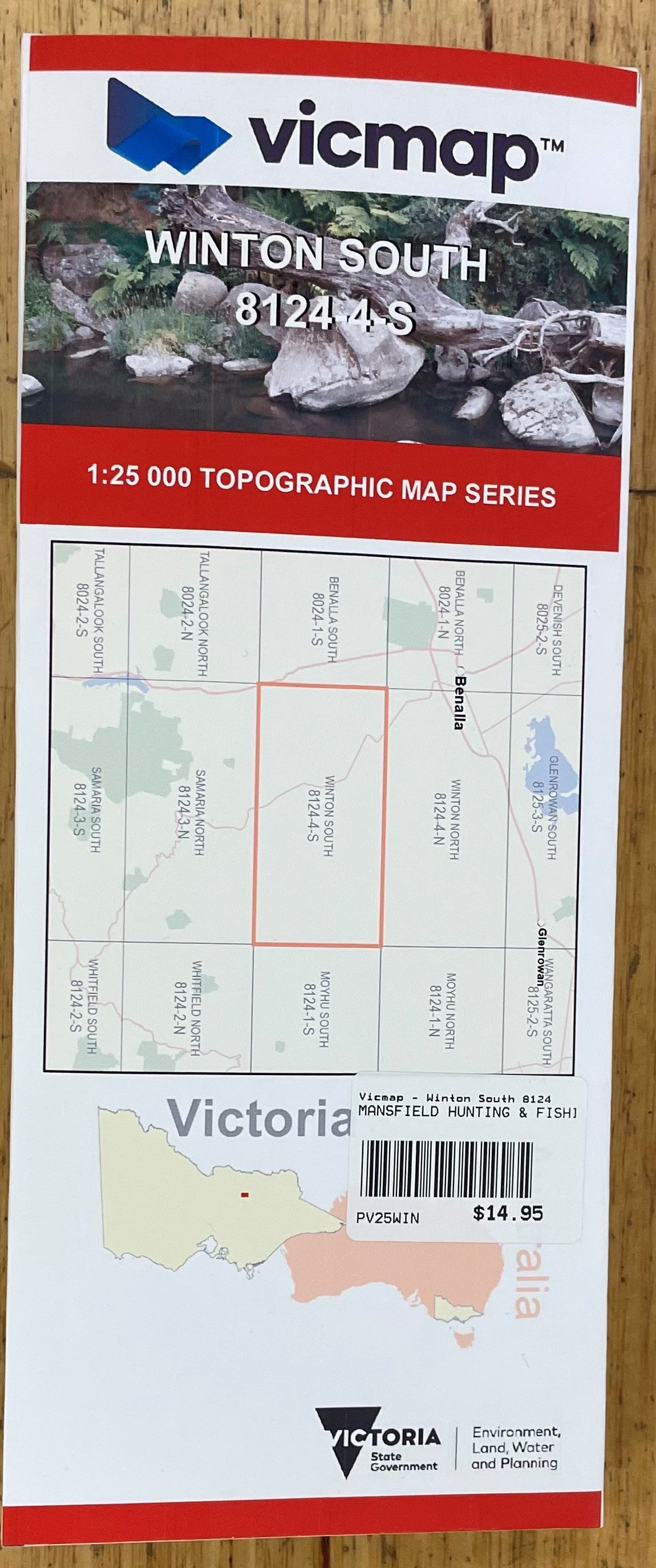
A 1:25000 topographic map series for Victoria. Map names and extents correspond to the VICMAP topographic map series, with a one-kilometre overlap provided for convenience. Maps are composited and labelled automatically from publicly-available spatial data sources provided by the Victorian government; no manual editing or verification has been performed. This map rendered at 300 pixels per inch.
Elevation is depicted by 10-metre contours with spot heights and shaded relief. Hydrographic, transportation and cultural features are all represented, with symbology similar to that used by the VICMAP printed sheets. A map legend is available showing all the features depicted on the map series (http://nswtopo.com/legends/vic.png).
Depiction of ground cover is derived from Victorian 'SPOT Panchromatic' imagery at 10-metre resolution, with varying accuracy. Tree cover is defined as woody vegetation greater than two metres in height and foliage density of ten percent or more. White indicates a lack of woody vegetation foliage, with increasing green indicating cover classed as scattered, medium or dense.
Maps are provided as-is, without warranty or any representation of accuracy, timeliness or completeness. The burden for determining accuracy, completeness, timeliness and fitness for use rests solely on the user. Users should review or consult the primary data and information sources to ascertain the accuracy and usability of the maps.