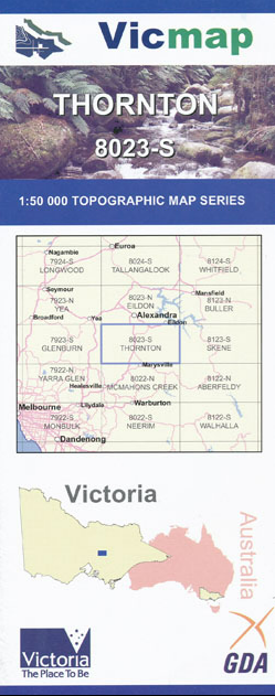

Description
Thornton 1-50,000 scale Vicmap Topographical map 8023S is used for Walking, 4WD, Fishing, Camping, Motorcycle, both On and Off Road, Gold Prospecting and for those simply going for a family weekend drive.
Topographical maps show not only Contours of the Terrain but Walking Tracks, Sealed and Unsealed Roads, Rivers, Creeks, Lakes, Historical Points of Interest, Old Mine Sites and National and State Park areas.
Main Features of this map includes:
Buxton, Thornton, Taggerty, Acheron, Rubicon towns
Cathedral Range State Park
Murrindini River and Reserve and town, Mount Torbreck
Part of the Black Range State Forest and Toolangi State Forest
Horseyard Range, Edge of the Devils Staircase, Rock Mouth Spur. Break o Day Range, Spion Kopje, Glendale Plantation, Snobs Creek, Rubicon State Forest, Parts of the Marysville State Forest, Cerberean Range, Ghost Point, Mount Bullfight, Federation Range, Royston Gap, Second Creek Range, the bottom of Lake Eildon, Hargrave Spur