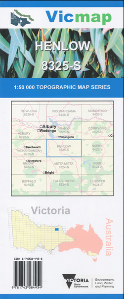

Description
Henlow 1-50,000 scale Vicmap Topographical map 8325S is used for Walking, 4WD, Fishing, Camping, Motorcycle, both On and Off Road, Gold Prospecting and for those simply going for a family weekend drive.
Topographical maps show not only Contours of the Terrain but Walking Tracks, Sealed and Unsealed Roads, Rivers, Creeks, Lakes, Historical Point of Interest, Old Mine Sites and National and State Park areas.
Main Features of this map include:
Eskdale, Tallandoon, Fernvale, Kiewa townships, Tangambalanga, bottom edge of Lake Hume, Mitta Mitta River, Gundowring, Dederang Caravan Park, Mitta Mitta River, Tallangatta, Lochart Creek, Bullioh Plantation