
Description
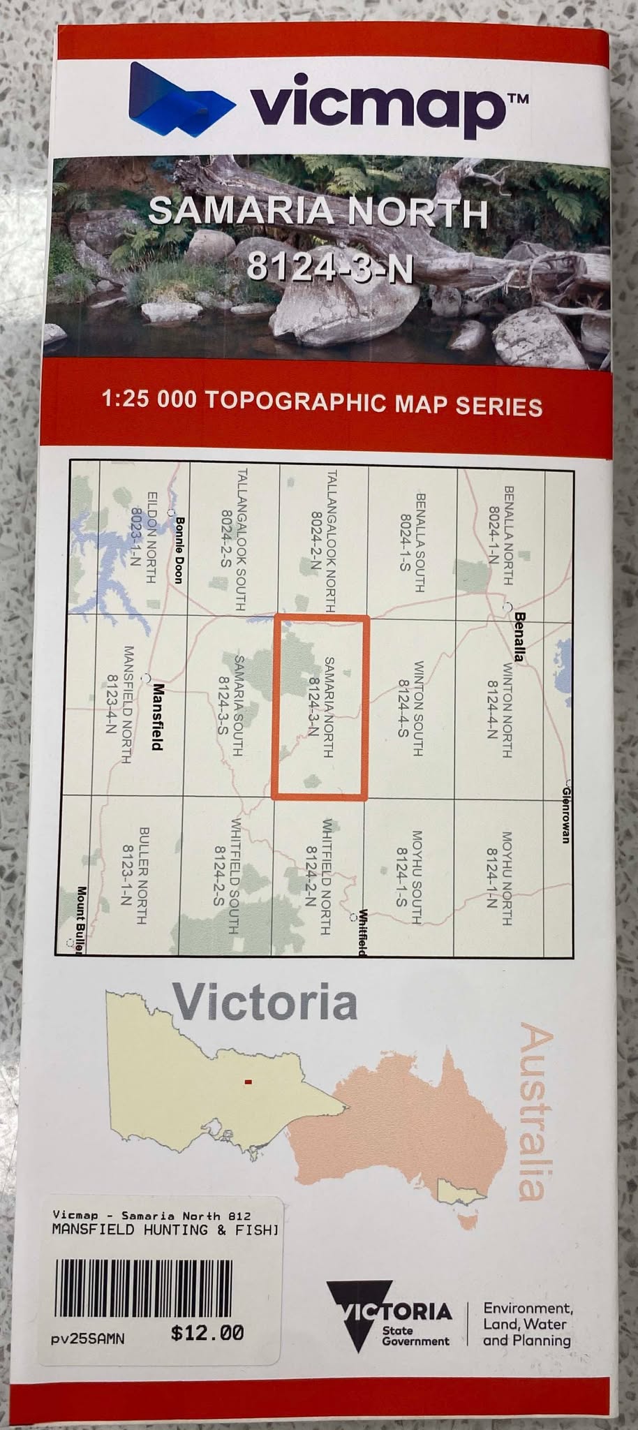
SAMARIA NORTH 1-25,000 Vicmap Topographic Map 81243N Now Print On Demand is used for Walking, 4WD, Fishing, Camping, Motorcycle, both On and Off Road, Gold Prospecting and for those simply going for a family weekend drive.
This is a new series of 1-25,000 scale maps, all of Victoria is now covered by these maps, including maps over the South Australian and NSW Borders.
Topographical maps show not only Contours of the Terrain but Walking Tracks, Sealed and Unsealed Roads, Rivers, Creeks, Lakes, Historical Points of Interest, Old Mine Sites mbtg and National and State Park areas.
Main Features of this map includes:
Now also covers the old series Nillahcootie and Tolmie
Northern section of LAKE NILLAHCOOTIE
Mount Samaria, Tolmie, Nillahcootie, Swanpool, Mount Samaria State Park, Midland Holiday Park, Lima South, Wild Dog Creek Falls Camping Area, Spring Creek Sawmill Camping Area, Moorngag, Hume And Hovell Memorial, Wrightley, Dodds Bridge, mbtg, TOOMBULLUP Historic Area, McCall Say Reservoir, Ryan Creek Reference Area (no public access)