


Description
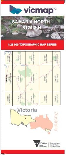
SAMARIA SOUTH 1-25,000 Vicmap Topographic Map 81243S Now Print On Demand is used for Walking, 4WD, Fishing, Camping, Motorcycle, both On and Off Road, Gold Prospecting and for those simply going for a family weekend drive.
This is a new series of 1-25,000 scale maps, all of Victoria is now covered by these maps, including maps over the South Australian and NSW Borders.
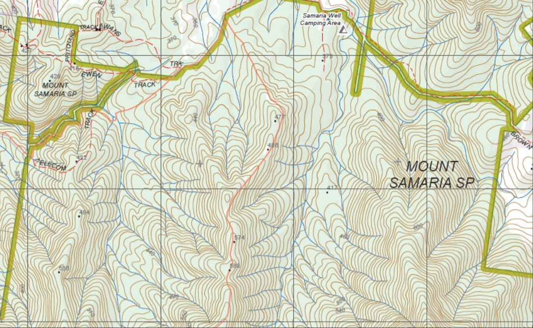
Topographical maps show not only Contours of the Terrain but Walking Tracks, Sealed and Unsealed Roads, Rivers, Creeks, Lakes, Historical Points of Interest, Old Mine Sites mbtg and National and State Park areas.
Main Features of this map includes:
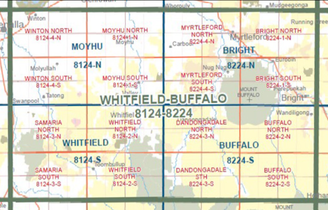
Covers the Old Series 1-25,000 Tolmie and Nillahcootie which are now out of print
Southern Section of Mount Samaria State Park
Tolmie, southern section of Lake Nillahcootie, The Bald Hills, Blue Range Plantation and Reference Area, Camphora Hike-In Camping Area, Wileman Track, Hat Hill FFR, Whartons Crossing, Barwite, Mcraes/tromps Plantation, southern part of the TOOMBULLUP Historia Area, Hollands Creek